
Modeling, GIS, and Analysis
Looking to analyze the impact of potential management options? K&A uses computer models to simulate watershed, lake, and site-specific conditions in order to determine which options may work best. We are also experienced with GIS analysis and data visualization.
-

Watershed Models
Water quality issues in lakes and rivers often originate in the watershed. K&A is experienced with watershed hydrologic models such as SWAT, SWMM, and HSPF that can help you identify potential issues, management impacts, and optimal solutions.
-

Lake Models
Lakes are complex natural systems that traditional watershed models often cannot simulate accurately. K&A uses the AEM3D model to analyze watershed and in-lake management options and their potential impacts on lake water quality concerns.
-

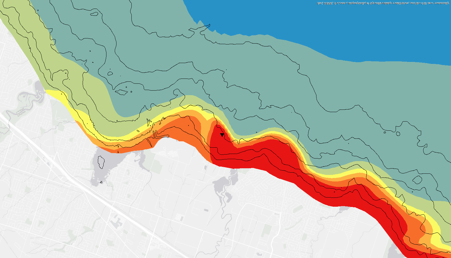
GIS Analysis
GIS (Geographic Information Systems) is a broad term for software-aided spatial analysis that has become increasingly important in recent decades. K&A can provide the GIS experience you need to support your planning and management projects.